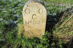
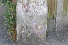
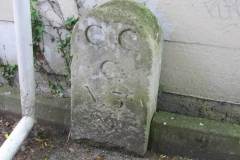
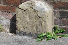
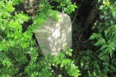
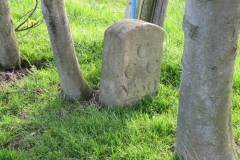
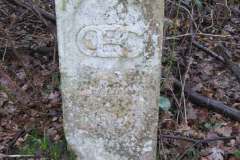
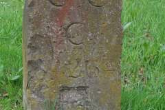
Canterbury enjoyed county status, separate from Kent, from the 1500s onwards. With the coming of county boroughs and setting up of County Councils in 1888, Canterbury was again, amazingly, granted separate county status. At the time its population of around 25,000 was just half the target threshold of 50,000, and half that of the second smallest county borough. The reorganisation of 1972 removed this privilege, but the boundaries of Canterbury County survive partially in the form of marker stones. The eight county stones shown in the photos are located:
- beside the Great Stour near the A2 road bridge (Image 1)
- facing St Stephen’s Fields near the Canterbury West foot tunnel (Hackington Place) (Image 2)
- between St Stephen’s Fields and Hanover Place (Image 3)
- in Cherry Garden Road (Image 4)
- in a copse just south of Thannington (Image 5)
- in an orchard near Merton’s Farm in Nackington (Image 6)
- on the golf course of Canterbury Golf Club off Stodmarsh Road (Image 7)
- by St Mary’s church Nackington (Image 8)
Many more are marked on earlier OS Explorer maps (2½ inches to the mile) but sadly most seem to have been lost – including one at the junction of London Road and Summer Hill, and another in the city cemetery.
For an update to our list of county stones click here.
For more detail on the county boundary stones, and their appearance on large scale maps, click here to download PDF.
DL
