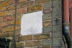
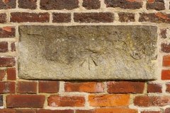
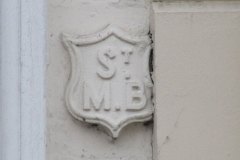
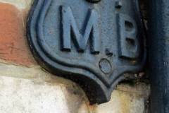
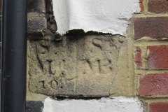
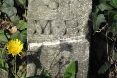
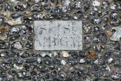
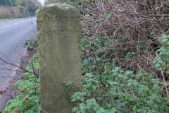
Several markers survive showing boundaries between city parishes, particularly important in their day as these bodies were responsible for the relief of sick and destitute born within each parish (Images 1 to 8):
- The Pound Lane marker, at head height on the corner of a private house not far from the car park entrance, denotes the boundary between Westgate and St Peter’s parishes (Image 1). Having rescued the stone and prepared a slot for it in the brickwork, workmen have then mounted it upside down!
- The Radigund bridge stone (Image 2) was already unreadable in Victorian times (it was marked as such on early large scale OS maps), but the OS benchmark arrow survives. It marked the meeting point of three parishes: St Alphege, St Mary Northgate and St Peter’s.
- The Watling Street example, a small shield, lies on the earlier boundary between the city parishes of St Mary Bredin and St Margaret’s (Image 3).
- A second Mary Bredin shield is in Cossington Street, above a ‘P’ parish stone (Image 4).
- A third Mary Bredin boundary marker can be found in St John’s Lane (Image 5).
- Mary Bredin stone can be seen in Old Dover Road near Cowdray Close (Image 6)
- Yet another Mary Bredin stone – boundary with St George the Martyr – this faces the fire station (Image 7)
- Finally, on the Old Dover Road the entry into Patrixbourne parish is clearly marked (Image 8).
There must be more parish boundary stones out there – do let us know if you find them.
DL
